

New

AgTech
7
Providers
Free
Quote requests
100%
Verified
Drone orthomosaic mapping services from Agnomys provide high-resolution, georeferenced aerial imagery to help farmers visualize, measure, and manage their land with greater precision and efficiency.
Quick answers
When
Orthomosaic flights run on-demand. Pre-project baseline, mid-project progress, or end-of-project documentation.
Where it fits
Stitched aerial maps in centimeter-resolution. Used for field boundaries, asset tracking, change detection, and stand assessments.
Who does it
Operators run RTK-corrected UAVs and process imagery into georeferenced orthomosaics deliverable as GeoTIFF or web map.
Why Agnomy
Every provider has a verified business profile with reviews from past Agnomy bookings. Pick on track record, not phone luck.
Verified providers
Pick the providers you want to hear from. Send your details once and receive quotes from everyone you select.
7 available
Same category

Drone service providers offer efficient pest survey solutions, using aerial imagery and multispectral sensors to detect infestations and guide targeted pest control strategies.

Drone pesticide application provides precise, efficient, and environmentally friendly crop protection by reducing chemical waste, minimizing labor costs, and ensuring optimal coverage.

Drone nutrient services provide precise and efficient aerial application of essential nutrients, optimizing crop health, reducing waste, and promoting sustainable farming practices.

Agnomys connects farmers with drone service providers to inspect, analyze, and document irrigation systems using aerial video and imagery for efficient water distribution and system performance.

Drone multispectral survey services from Agnomys provide high-resolution insights into crop health, soil conditions, and field variability to support precision agriculture and smarter farming decisions.

Drone sanitization services provide efficient, aerial disinfection for agricultural spaces, equipment, and livestock areas, ensuring a cleaner and healthier environment with optimized chemical use.

Drone seeding services provide a precise and efficient method for planting crops, cover crops, and restoring vegetation, reducing labor costs and reaching difficult terrain with advanced aerial technology.
Show all
How it works
Tell us the acreage, crop, field location, and your window. Takes under 2 minutes.
Multiple verified providers reply with transparent quotes. Pick the one that fits.
Watch crew progress in-app. Get invoice + job report the day they finish.
Overview
“Drone orthomosaic mapping services deliver accurate, high-resolution aerial imagery stitched into detailed, georeferenced maps of your fields”
Drone orthomosaic mapping services deliver accurate, high-resolution aerial imagery stitched into detailed, georeferenced maps of your fields. Agnomys service providers use cutting-edge drone technology to help farmers visualize, measure, and manage their land with precision.
Services include:
High-Resolution Field Maps: Create clear, detailed maps for analysis and planning.
Georeferenced Imagery: Accurate spatial data for measuring distances, areas, and crop zones.
Field Boundary Mapping: Precisely define and update field edges and property lines.
Infrastructure Monitoring: Assess roads, irrigation lines, and other assets from above.
Land Use Planning: Support planting, ripping, or development decisions with up-to-date visuals.
Change Detection: Compare historical maps to track seasonal or structural changes.
Integration with GIS Tools: Use orthomosaics in precision ag software for deeper insights.
Agnomys helps farmers access professional drone orthomosaic mapping services for better planning, monitoring, and land management.
Why Agnomy
Directories leave you chasing calls and waiting for responses. Agnomy connects you with ready-to-work providers so you can quote, schedule, and get jobs completed without the back-and-forth.
Request pricing from multiple providers in minutes
See availability and choose the right provider
Lock in work before critical timing windows close
Keep everything organized from start to finish
Stay informed with weather-aware job insights
Compare 7 verified providers, see transparent pricing, and lock in your window.
Drone Orthomosaic Mapping
From the blog
Field notes, seasonal guides, and grower interviews — straight from the team.
 Industry News
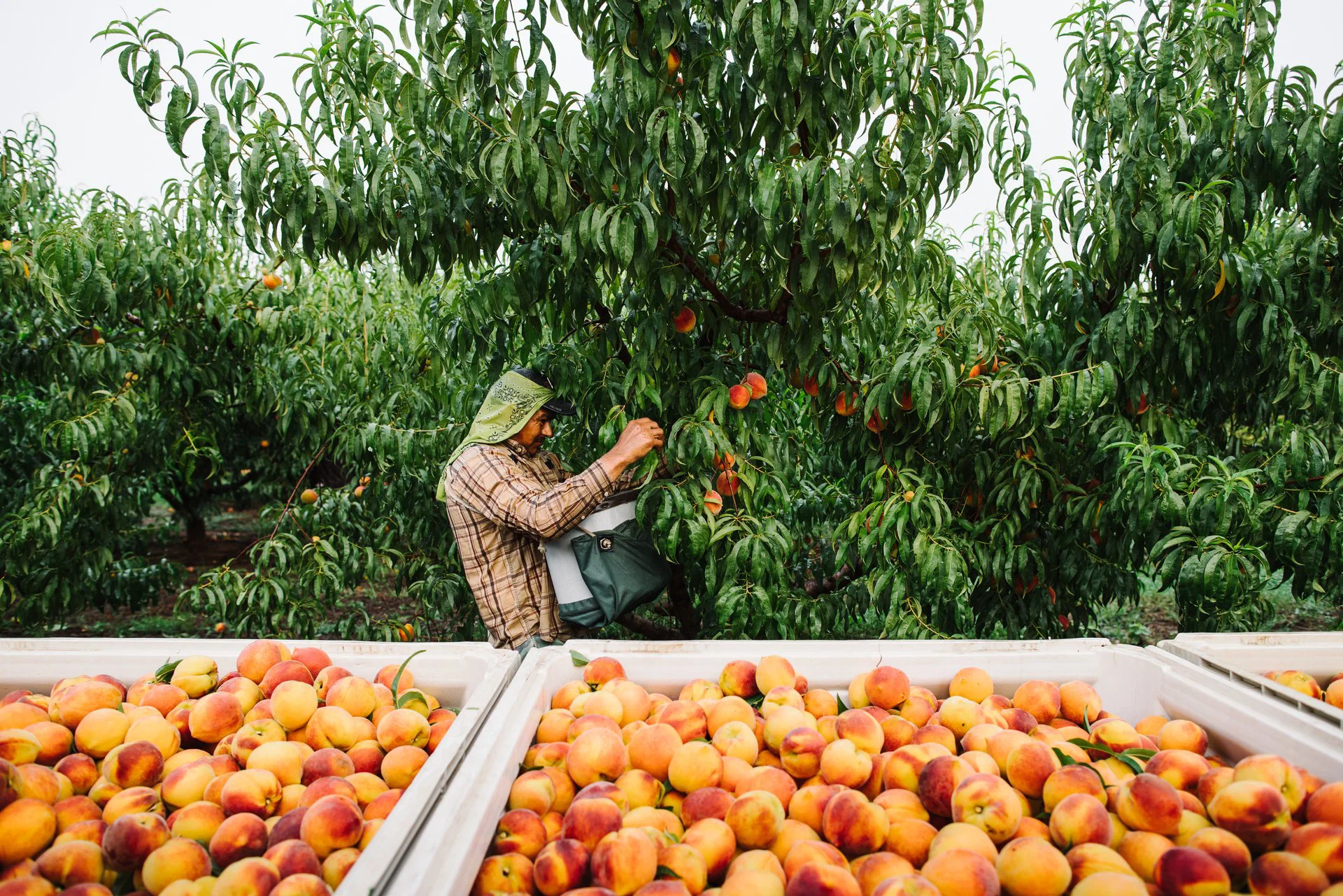
USDA has approved up to $9 million in relief for California cling peach growers impacted by recent market disruptions. The program is designed to help remove trees, transition acreage, and reduce grower losses. Learn what it means, who may qualify, and what steps growers should take next.
 Best Practices
California peach harvest is one of the most important seasonal windows for growers. Learn harvest timing, peach varieties, labor needs, common problems, orchard preparation, and the support services that help growers succeed.
 Best Practices
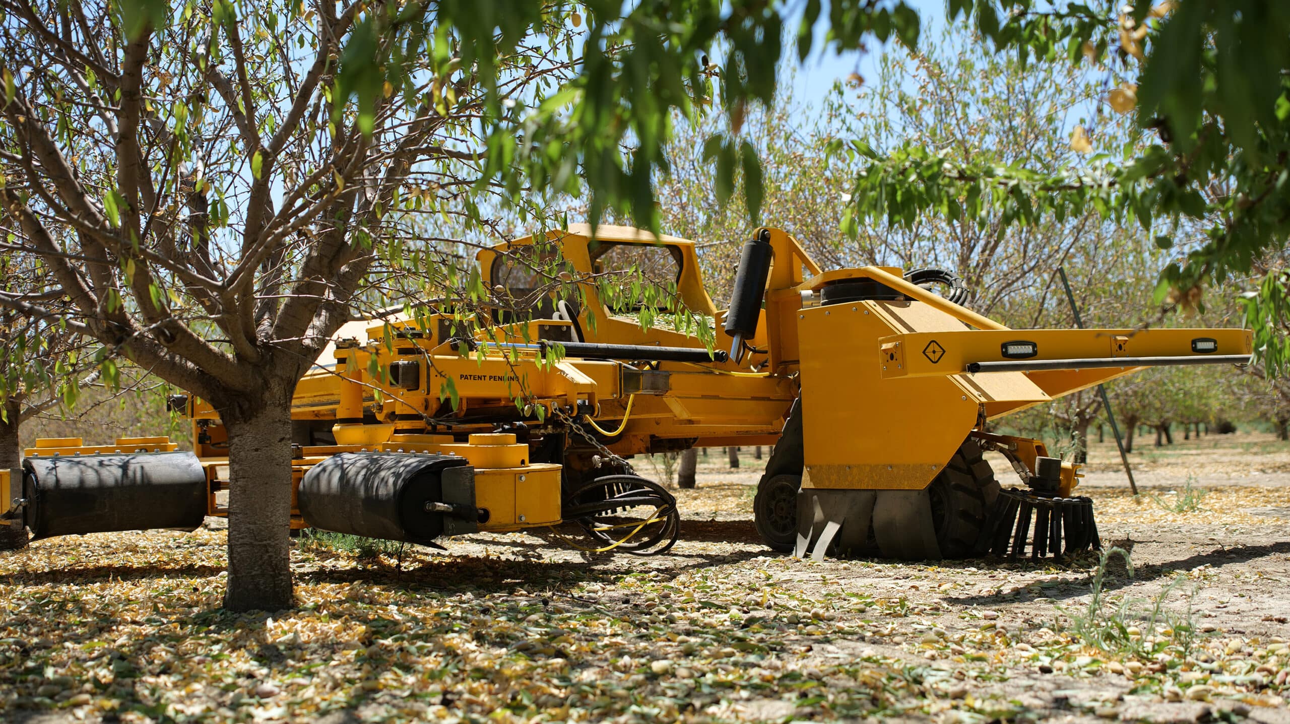
California harvest season moves quickly, and the right service providers often get booked early. This guide breaks down the main harvest services growers should secure ahead of time to keep work moving and avoid delays.


