Category
AgTech on Agnomy
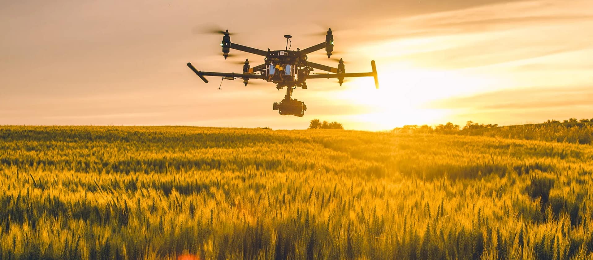
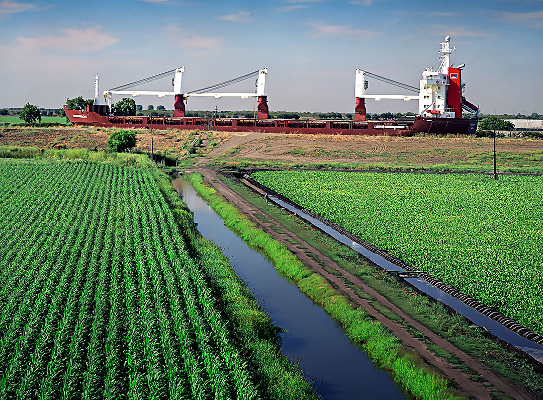
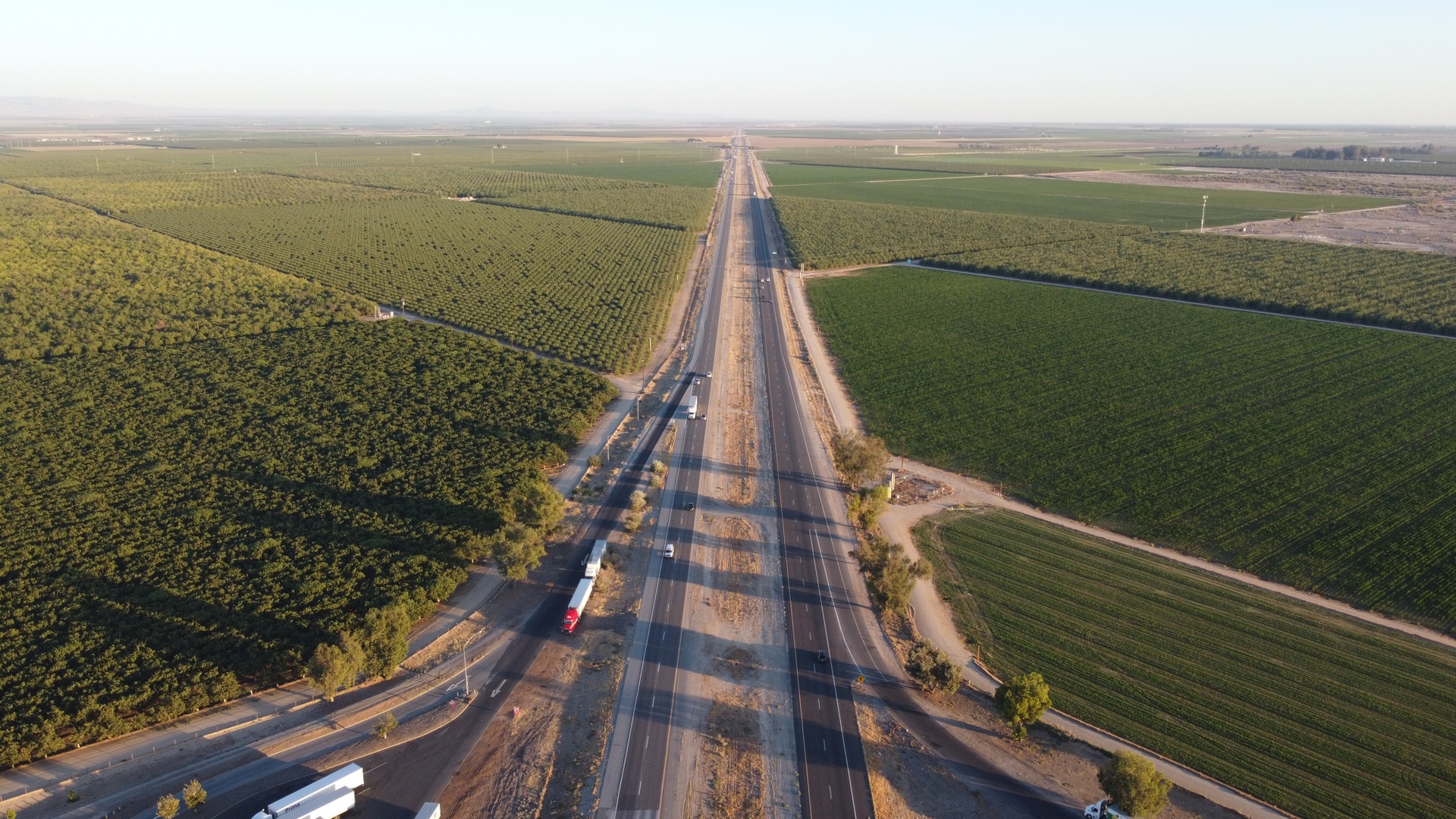
Drones, lab analysis, smart farm systems, smart irrigation, and ag solar — precision tools that turn guesswork into data.
24
Services
8
Providers
5
Subcategories
16
Cities
Refine your search
Five ways to browse agtech
Drill into a focus area, scan our top picks, search the full catalog, pivot by crop, or zero in by city. Every path lands on the same vetted providers.
By focus area
Browse agtech subcategories
5 subcategories under AgTech — each one bundles the providers, services, and crops most relevant to that focus area.


Top services
Top agtech services
A rotating selection of the most-booked services in this scope. See them all in the marketplace below.


Drone Pest Surveys
Drone service providers offer efficient pest survey solutions, using aerial imagery and multispectral sensors to detect infestations and guide targeted pest control strategies.

Drone Pesticide Services
Drone pesticide application provides precise, efficient, and environmentally friendly crop protection by reducing chemical waste, minimizing labor costs, and ensuring optimal coverage.

Drone Irrigation Inspection
Agnomys connects farmers with drone service providers to inspect, analyze, and document irrigation systems using aerial video and imagery for efficient water distribution and system performance.

Drone Multispectral Surveys
Drone multispectral survey services from Agnomys provide high-resolution insights into crop health, soil conditions, and field variability to support precision agriculture and smarter farming decisions.

Drone Sanitization Services
Drone sanitization services provide efficient, aerial disinfection for agricultural spaces, equipment, and livestock areas, ensuring a cleaner and healthier environment with optimized chemical use.

Drone Orthomosaic Mapping
Drone orthomosaic mapping services from Agnomys provide high-resolution, georeferenced aerial imagery to help farmers visualize, measure, and manage their land with greater precision and efficiency.

Drone Seeding Services
Drone seeding services provide a precise and efficient method for planting crops, cover crops, and restoring vegetation, reducing labor costs and reaching difficult terrain with advanced aerial technology.
The full catalog
Browse agtech services & providers
Matches
24 results
Filter by location, distance, crop, and price. Tap a card to view the storefront and request a quote.
By crop served
12 crops
Find agtech providers who specialize in your crop.
Service area
Cities with active providers
16 hubs with verified operators running jobs. Drop into one to compare providers, prices, and availability.


Explore the catalog
Explore other ag service categories
Agnomy covers the full range of ag work. Jump into another category to find the providers, services, and crops that fit your operation.
Browse another category


What it is
AgTech: data in front of every farm decision
“AgTech is not about gadgets. It is about the deliverable. If a service does not end with a decision a grower can act on, it is not worth booking.”
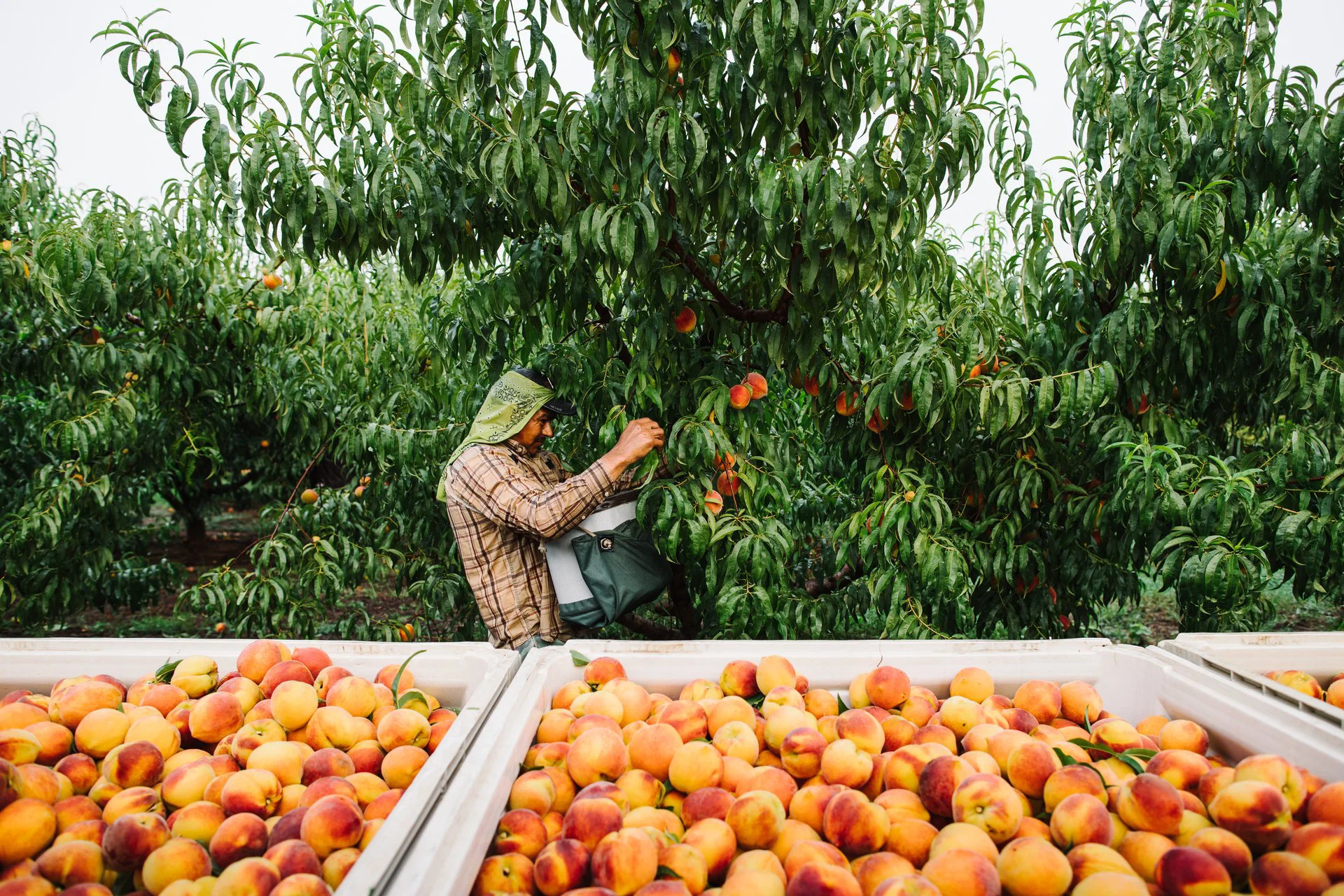
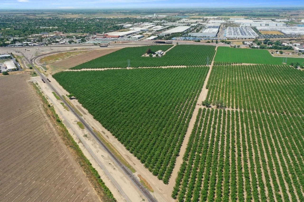
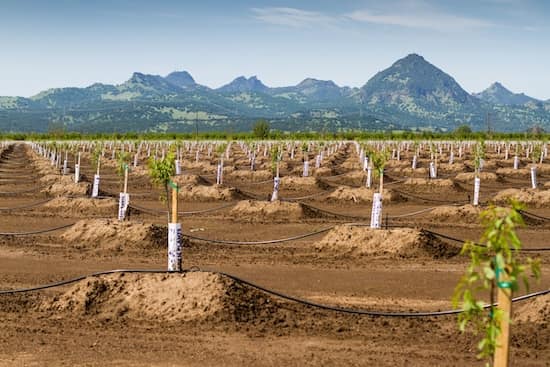
AgTech is the cluster of services that put data and precision in front of farming decisions — drones, soil testing, satellite and multispectral imaging, in-field sensors, yield analytics, variable-rate prescriptions, and the software stack that ties them together. The thread running through every job: it ends with something a grower can act on this week, this season, or next year.
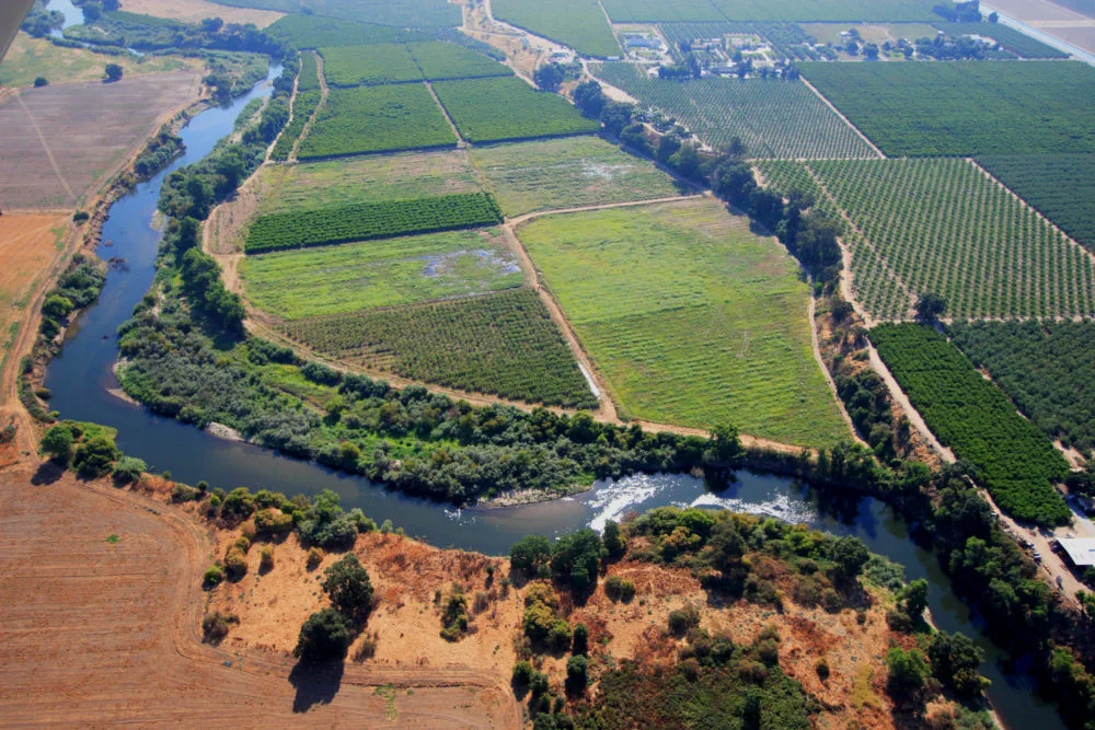
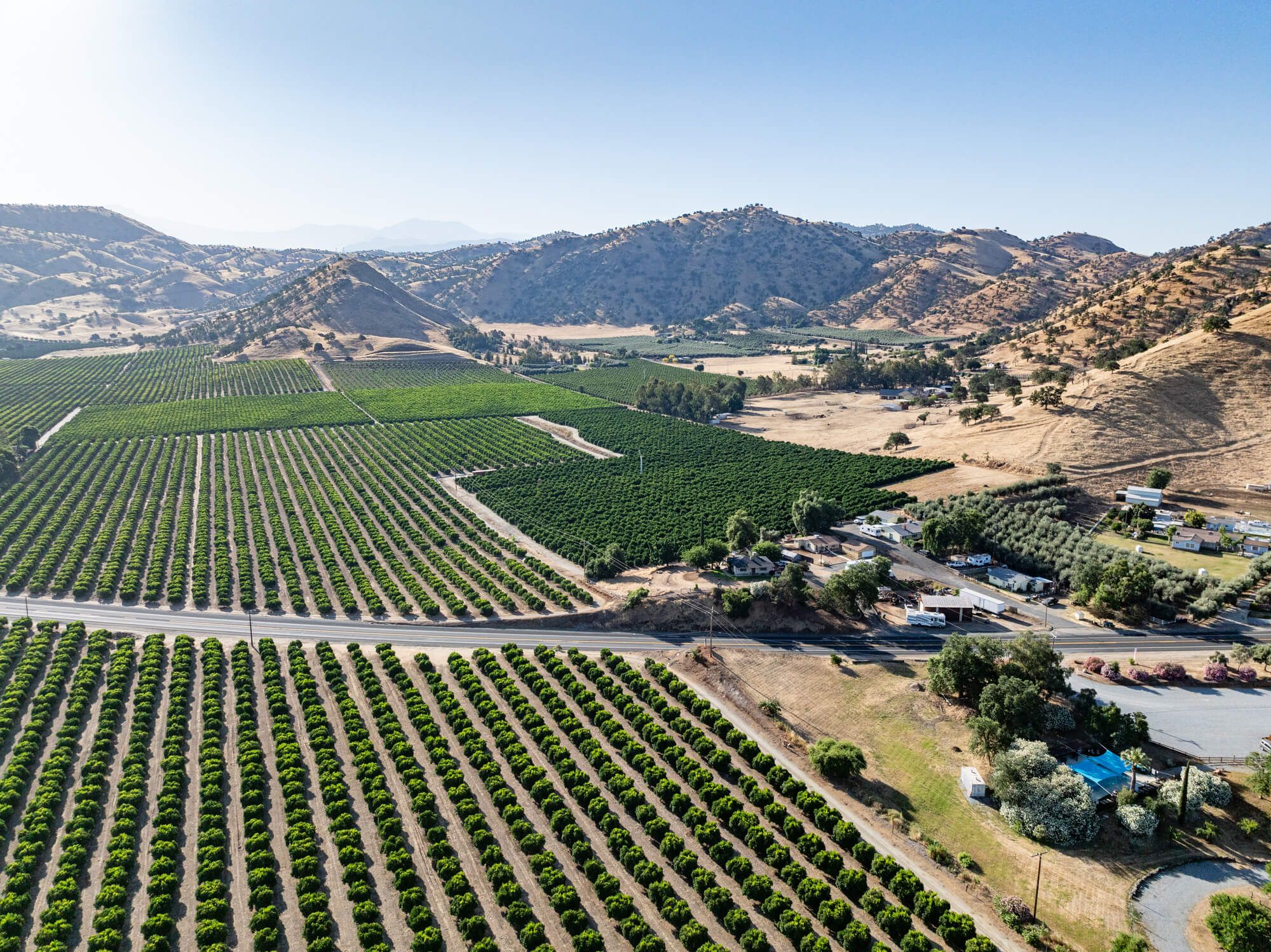
The most common services on Agnomy under AgTech fall into a few buckets. Crop scouting via drone or boots-on-the-ground finds stress, pests, and gaps before they spread. Soil testing and nutrient mapping turns a uniform field into zones, so fertilizer and water go where they actually pay off. Aerial imaging — NDVI, thermal, multispectral — makes stand counts, vigor variability, and irrigation issues legible at a glance. Yield mapping closes the loop, pairing this season's harvest with last season's decisions to tune the next prescription. Variable-rate application services then execute against those prescriptions on the ground, often delivered by the same providers who collected the data.
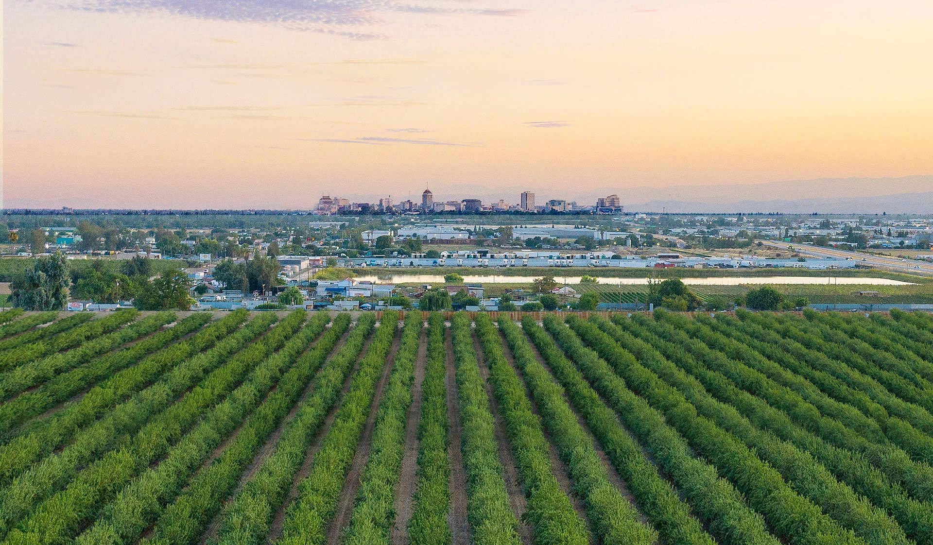
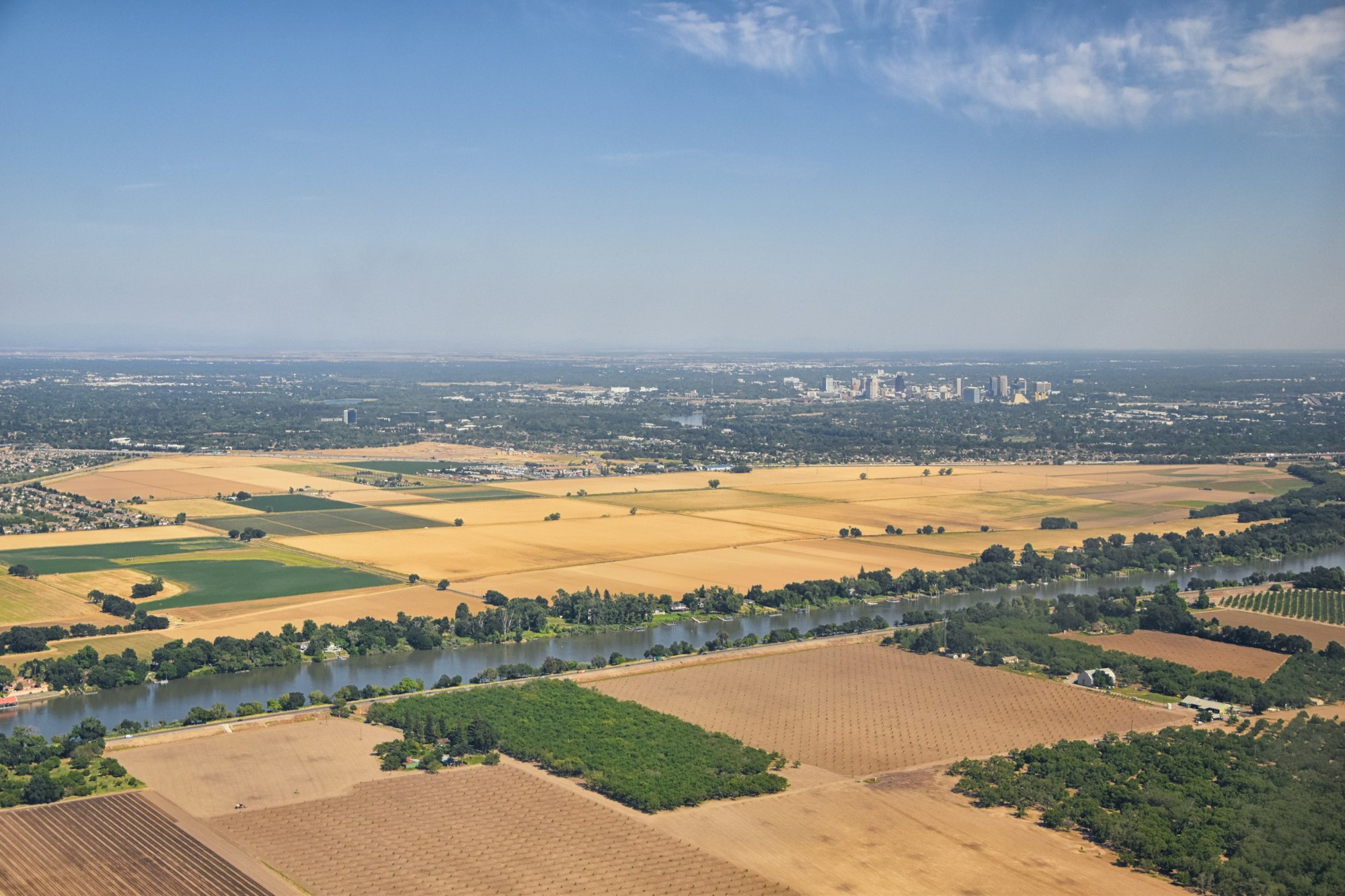
What makes AgTech the future of agriculture isn't any single tool — it's that the layers compound. A soil map sharpens scouting. Scouting sharpens the next drone flight. Drone flights sharpen the variable-rate prescription. Each layer makes the next one more accurate, which means less guesswork, less input waste, and decisions made on the same scale the field actually varies — by zone, not by average. For California operations especially, where water, nitrogen, and labor costs all push toward precision, AgTech is increasingly less an upgrade and more the baseline.
Frequently asked
Answers for growers
What growers ask before they book on Agnomy.
Where should a California operation start with AgTech?
Soil testing is the highest-leverage first step — it gives a baseline you build everything else on. Drones and scouting come next, depending on whether you need treatment (drone) or eyes-on (scouting). Yield mapping pays off once you have a season of harvest data to clean up.How do AgTech operators bill?
Drone work is almost always per-acre with a minimum-acreage floor. Soil testing scales with sample count. Software setup and yield analytics are usually fixed-fee. Sensor installs are install + monthly subscription.Who owns the data the operator collects on my field?
On Agnomy, every verified provider answers this in their onboarding: your data is yours, the operator cannot resell it without explicit permission. Always confirm this in writing in the quote.How fast can I get a quote on AgTech work in California?
Median time-to-first-quote across AgTech is under 4 hours. Drone spraying lags slightly during peak windows (April–June). Most other services quote within an hour.
Now make it local
See agtech providers in your area
This page is the network reference. To compare actual providers, prices and availability in your zip code, jump to a local hub.
AgTech